When is it going to snow in Chicago? Likely this week

The first snowflakes of the season will arrive this week
Emily Wahls has your Chicago weather update!
CHICAGO - Most of November has been warmer than average in the Chicago area, but it looks like we’ll get a dose of reality later this week.
A major pattern flip is expected by midweek, which could ultimately lead to the first snowflakes of the season by Wednesday night.
According to the National Weather Service, the average first trace of snow in Chicago is October 31. The average first measurable snowfall, defined as one-tenth of an inch or more, is November 18. As the forecast stands now, it looks like we could get our first trace Wednesday night, and possibly our first measurable snow in parts of Chicagoland on Thursday.
Temperatures will be near 60 degrees on Tuesday, and then a much colder air mass pours into Chicagoland on Wednesday. As the cooler air arrives, another low pressure system is expected to move in. This will initially touch off scattered rain showers on Wednesday afternoon or evening, but as temperatures drop Wednesday night, we’ll likely see snowflakes mixing in.

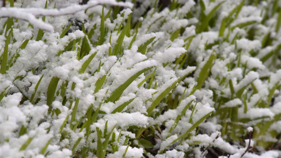
Grass sprouts are covered in snow in Vinnytsia, west-central Ukraine, on March 19, 2024. (Photo by Ukrinform/NurPhoto via Getty Images)
Temperatures will drop to near or below freezing on Wednesday night. This will likely be the first time temperatures drop to the freezing mark in Chicago so far this fall. According to the National Weather Service, this is now the fifth-latest date for the first 32-degree or lower temperature in the cool season, and it’s the latest since 1931. Chicago will have multiple chances to reach 32 degrees or lower later this week through the weekend.
As far as how much snow to expect, most areas will see a trace to just a couple tenths of an inch on grassy or elevated surfaces. With ground temperatures still above freezing, we are not expecting major travel impacts as this system swings through Wednesday night into Thursday.

